Where did Vincent van Gogh draw “The Langlois Bridge”?
Vincent van Gogh drew “The Langlois Bridge” at Canal near Arles.
“The Langlois Bridge” was drawn by Vincent van Gogh in March 1888 at Canal near Arles. It is a drawing work shown on SketchMap Atlas at the place where it was made.
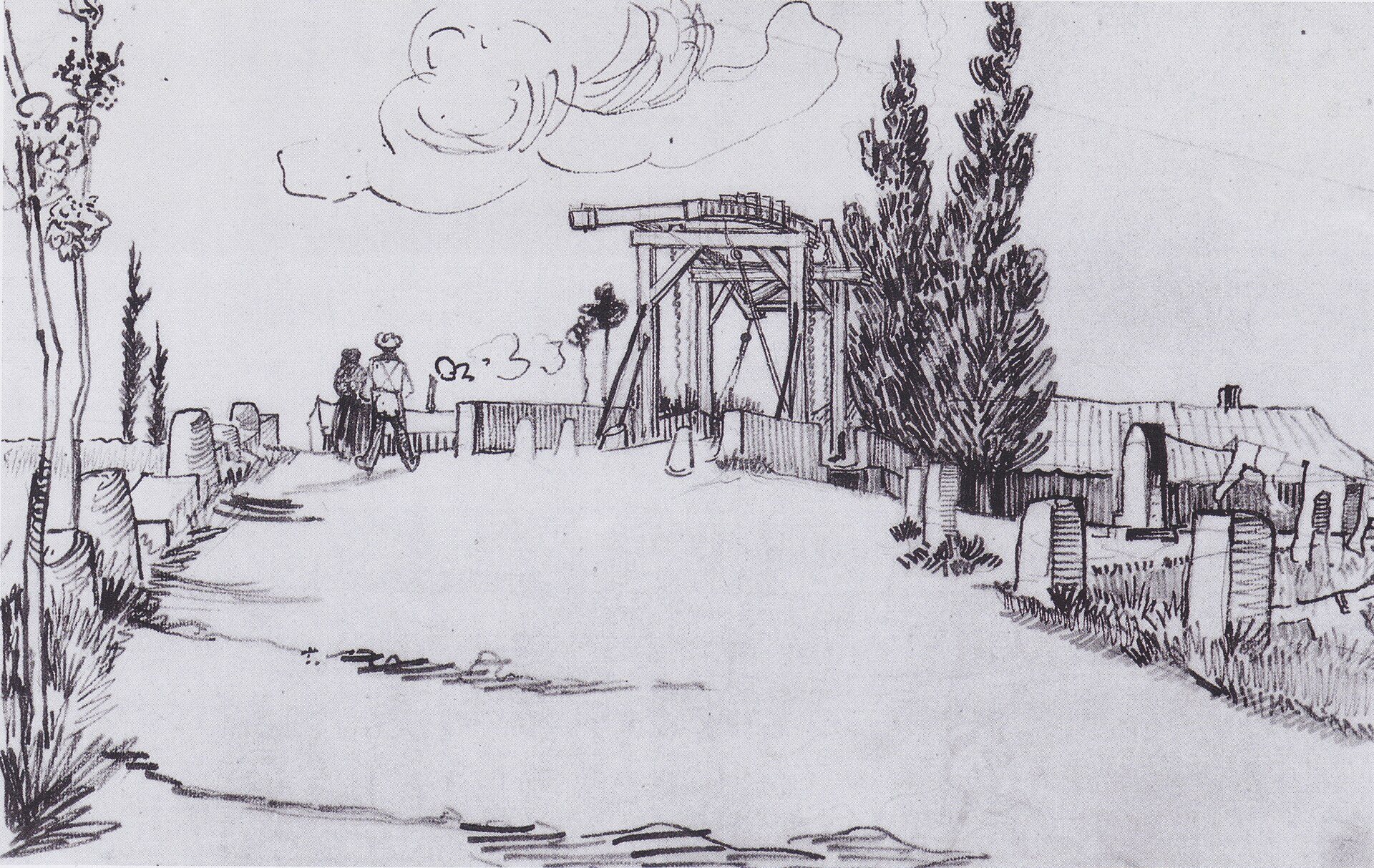
The drawbridge on the canal near Arles, to which Van Gogh returned in the spring of 1888.
| Artist | Vincent van Gogh |
|---|---|
| Year | March 1888 |
| Place | Canal near Arles |
| Technique | drawing |
| Licence | Public domain |
| Source | Wikimedia Commons |
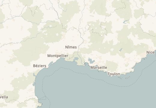
Canal near Arles is on the SketchMap Atlas world map, with Vincent van Gogh’s sketch pinned where it was made.
Been to Canal near Arles? Add your own sketch next to Vincent van Gogh’s.
More sketches of Arles and Saintes-Maries-de-la-Mer, France
Vincent van Gogh drew “The Langlois Bridge” at Canal near Arles.
“The Langlois Bridge” by Vincent van Gogh dates from March 1888.
It is a drawing work.
The image is marked “Public domain” and comes from Wikimedia Commons. See the source link for the exact terms.