
Who drew Arles and Saintes-Maries-de-la-Mer, France?
SketchMap Atlas shows sketches of Arles and Saintes-Maries-de-la-Mer, France by Vincent van Gogh.
Places › Arles and Saintes-Maries-de-la-Mer, France
5 classic sketches of Arles and Saintes-Maries-de-la-Mer, France by Vincent van Gogh, in 1888, each shown on the world map where it was drawn.
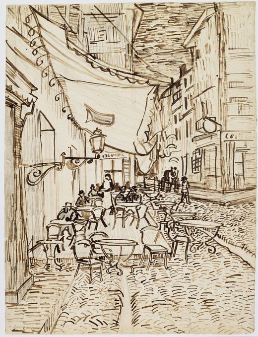 Café Terrace, Arles
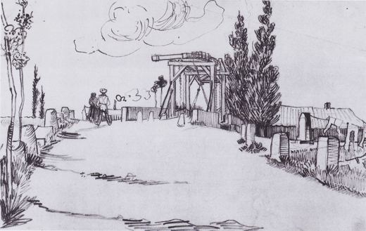 The Langlois Bridge
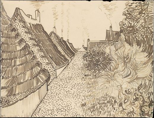 Street in Saintes-Maries-de-la-Mer
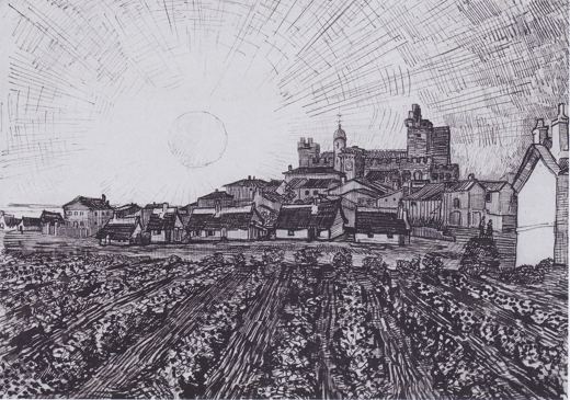 View of Saintes-Maries-de-la-Mer
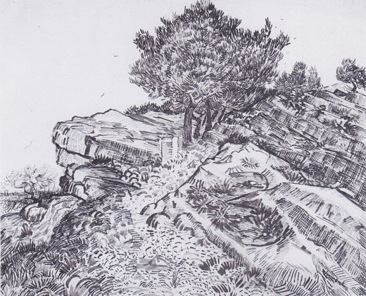 Rocks at Montmajour
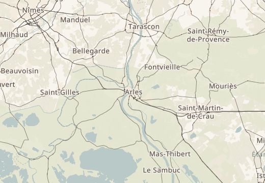
Every sketch is pinned where it was drawn.
Been to Arles and Saintes-Maries-de-la-Mer, France? Add your own sketch next to these.
SketchMap Atlas shows sketches of Arles and Saintes-Maries-de-la-Mer, France by Vincent van Gogh.
Place du Forum, Arles; Canal near Arles; Saintes-Maries-de-la-Mer; Montmajour Abbey, Arles.
They date in 1888.
Yes. Open SketchMap Atlas, pin your drawing at the place and it will appear on the map next to these classics.