Where did Edward Lear draw “Qasr Ibrim, Nubia”?
Edward Lear drew “Qasr Ibrim, Nubia” at Qasr Ibrim, Egypt (coordinates 22.6439° N, 32.0200° E).
“Qasr Ibrim, Nubia” was drawn by Edward Lear in 1867 at Qasr Ibrim, Egypt. It is a watercolour work shown on SketchMap Atlas at the place where it was made.
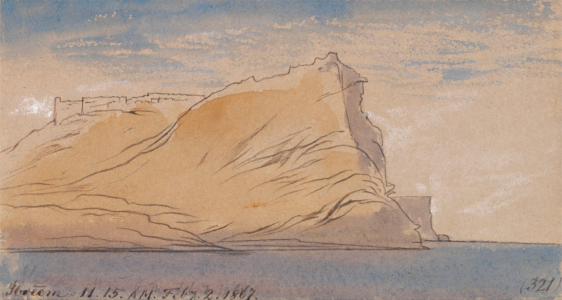
A fortress on a rock above the Nile: Lear noted the time of day and colours on the sheet.
| Artist | Edward Lear |
|---|---|
| Year | 1867 |
| Place | Qasr Ibrim, Egypt |
| Coordinates | 22.6439° N, 32.0200° E |
| Technique | watercolour |
| Licence | Public domain |
| Source | Wikimedia Commons |
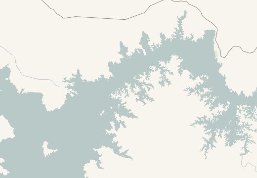
Qasr Ibrim, Egypt is on the SketchMap Atlas world map, with Edward Lear’s sketch pinned where it was made.
Been to Qasr Ibrim, Egypt? Add your own sketch next to Edward Lear’s.
Edward Lear drew “Qasr Ibrim, Nubia” at Qasr Ibrim, Egypt (coordinates 22.6439° N, 32.0200° E).
“Qasr Ibrim, Nubia” by Edward Lear dates from 1867.
It is a watercolour work.
The image is marked “Public domain” and comes from Wikimedia Commons. See the source link for the exact terms.