
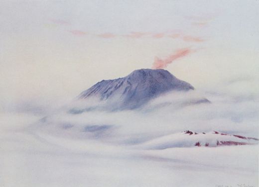
Who was Edward Wilson?
English physician, naturalist and artist.
Artists › Edward Wilson
Antarctica in watercolour · 1872–1912
Edward Wilson (1872–1912): antarctica in watercolour. SketchMap Atlas shows 1 sketch by Edward Wilson on the world map, each placed where it was drawn.
English physician, naturalist and artist. He joined Robert Falcon Scott's Antarctic expeditions as scientist and painted the ice, sky and coast in watercolour. He died in 1912 with Scott's polar party on the return journey.
Every sketch is pinned where it was drawn, so you can follow Edward Wilson from place to place.
Been to one of these places? Add your own sketch next to Edward Wilson’s.
English physician, naturalist and artist.
Antarctica. Every sketch is shown on the map at the place where it was made.
The works on SketchMap Atlas are watercolour.
The works shown here are marked “Public domain” and come from Wikimedia Commons. Check the source link of each work for the exact terms.
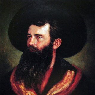 Thomas Baines
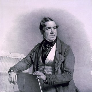 David Roberts
 Jeong Seon
