
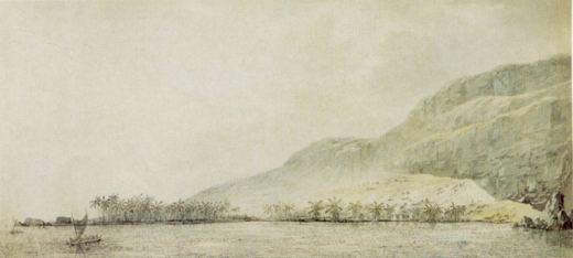
Who was John Webber?
Swiss-English artist who sailed as official draughtsman on James Cook's third voyage to the Pacific.
Artists › John Webber
Cook’s Pacific · 1751–1793
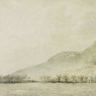
John Webber (1751–1793): cook’s pacific. SketchMap Atlas shows 1 sketch by John Webber on the world map, each placed where it was drawn.
Swiss-English artist who sailed as official draughtsman on James Cook's third voyage to the Pacific. His drawings of islands, coasts and people encountered between the Pacific and the Arctic are a key visual record of the voyage.
Every sketch is pinned where it was drawn, so you can follow John Webber from place to place.
Been to one of these places? Add your own sketch next to John Webber’s.
Swiss-English artist who sailed as official draughtsman on James Cook's third voyage to the Pacific.
Hawaii. Every sketch is shown on the map at the place where it was made.
The works on SketchMap Atlas are drawing.
The works shown here are marked “Public domain” and come from Wikimedia Commons. Check the source link of each work for the exact terms.
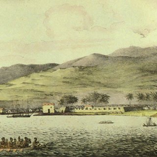 Louis Choris
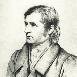 Johan Christian Dahl
 Caspar David Friedrich
