
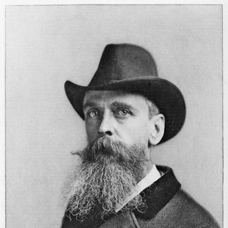
Who was Thomas Moran?
English-born American landscape painter.
Artists › Thomas Moran
Yellowstone in watercolour · 1837–1926
Thomas Moran (1837–1926): yellowstone in watercolour. SketchMap Atlas shows 10 sketches by Thomas Moran on the world map, each placed where it was drawn.
English-born American landscape painter. In 1871 he joined a government survey of the Yellowstone region and made watercolour sketches on the spot. Back east his pictures helped convince Congress to protect the area as the first national park in 1872. He returned to the American West many times.
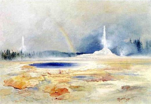 Geyser Basin, Yellowstone
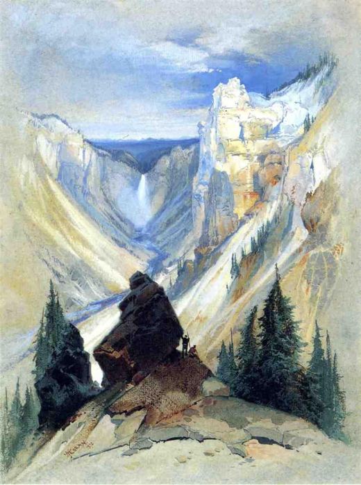 Grand Canyon of the Yellowstone
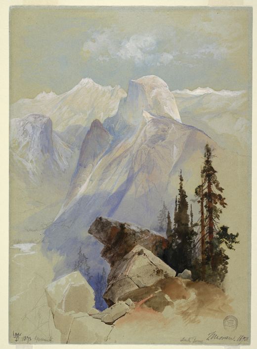 Half Dome, Yosemite
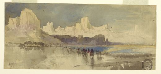 Canyon of the Rio Virgin, Utah
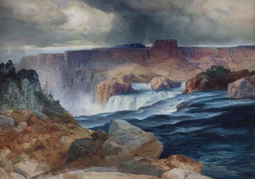 Shoshone Falls, Idaho
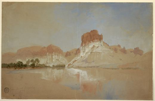 Green River, Wyoming
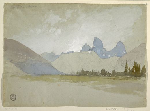 The Tetons, Idaho
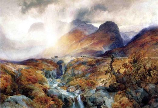 The Pass at Glencoe, Scotland
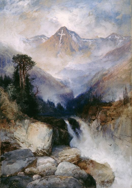 Mountain of the Holy Cross, Colorado
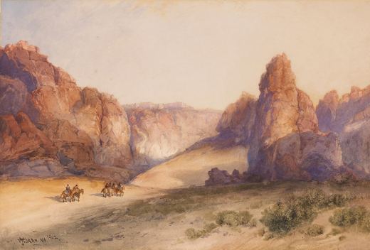 The Rock of Acoma, New Mexico
Every sketch is pinned where it was drawn, so you can follow Thomas Moran from place to place.
Been to one of these places? Add your own sketch next to Thomas Moran’s.
English-born American landscape painter.
Yellowstone, Grand Canyon of the Yellowstone, Yosemite, Utah, Idaho and Wyoming and more. Every sketch is shown on the map at the place where it was made.
The works on SketchMap Atlas are watercolour.
The works shown here are marked “Public domain” and come from Wikimedia Commons. Check the source link of each work for the exact terms.
 Winslow Homer
 Johann Moritz Rugendas
 Paul Klee


