
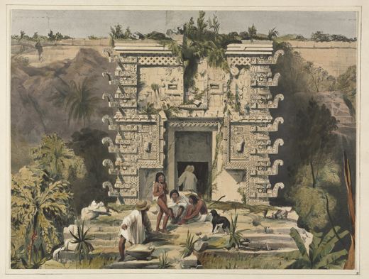
Who was Frederick Catherwood?
English architect and draughtsman who travelled with the American diplomat John Lloyd Stephens through Central America and Mexico.
Artists › Frederick Catherwood
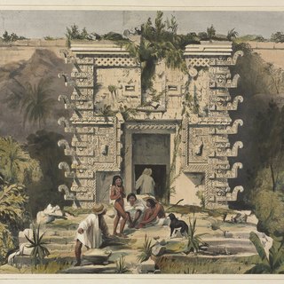
Cities of the Maya · 1799–1854
Frederick Catherwood (1799–1854): cities of the maya. SketchMap Atlas shows 1 sketch by Frederick Catherwood on the world map, each placed where it was drawn.
English architect and draughtsman who travelled with the American diplomat John Lloyd Stephens through Central America and Mexico. His precise drawings of Maya cities and monuments were published in the 1840s and remain a key record.
Every sketch is pinned where it was drawn, so you can follow Frederick Catherwood from place to place.
Been to one of these places? Add your own sketch next to Frederick Catherwood’s.
English architect and draughtsman who travelled with the American diplomat John Lloyd Stephens through Central America and Mexico.
Mexico. Every sketch is shown on the map at the place where it was made.
The works on SketchMap Atlas are drawing.
The works shown here are marked “CC0” and come from Wikimedia Commons. Check the source link of each work for the exact terms.
 James Pattison Cockburn
 Amadeo Preziosi
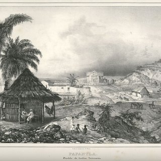 Carl Nebel
